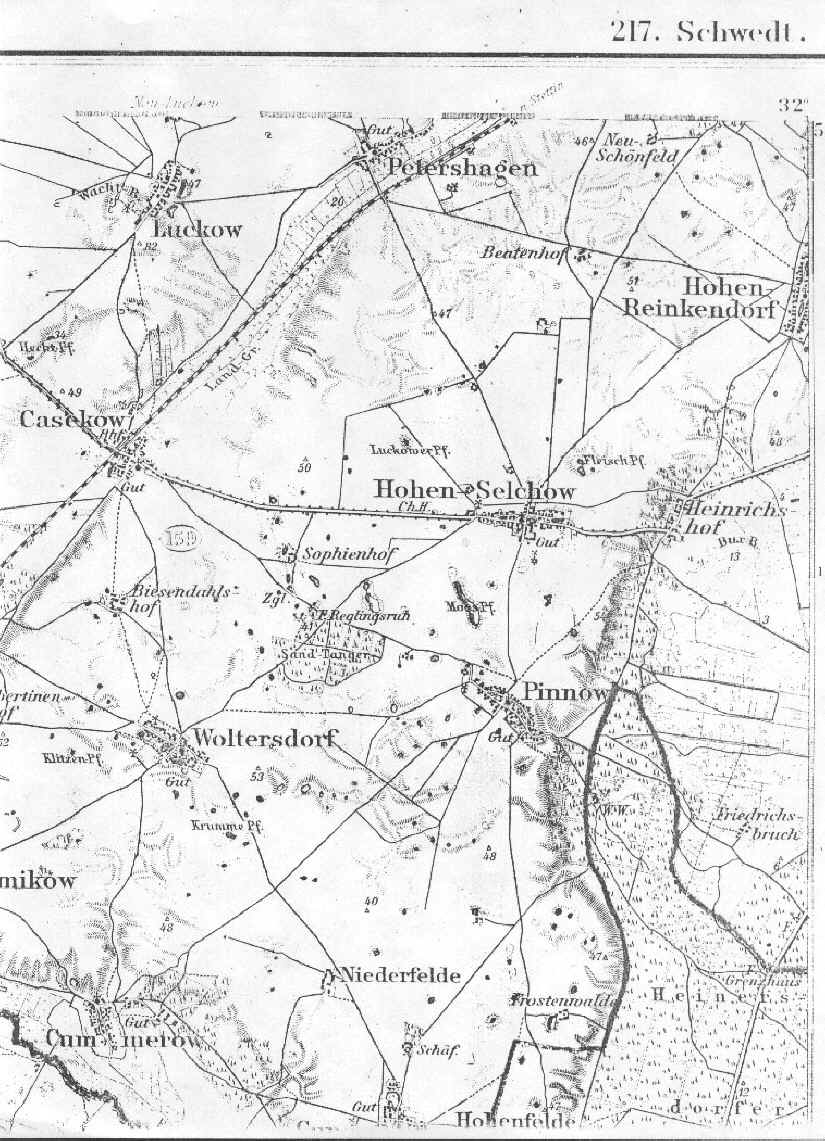
A detailedlate 1800's map showing Hohen Selchow and Pinnow in the county of Randow, Pomerania.
[map covers an area of about 5.5 x 7 miles]
Note: Parish registers for the church in Pinnow are kept by the mother church in Hohen Selchow.
From the Library of Congress collection of historic 1:100,000 scale topographic maps of Germany.
Karte des Deutschen Reiches, Reichsamt fur Landesaufnahme, Berlin.]